In 2015, the Heritage Council awarded funding towards a project entitled ‘A new timeline for Rosscarbery, featuring the 1755 tsunami’. The beneficiary was Rosscarbery and District Historical Society and the Project Manager was the [email protected]. Co-workers were Gill Boazman, Archaeologist, and William Helps, Artist. The environmental history of town and estuary was interpreted at three stages:
- In the early medieval period.
- Following the Lisbon Earthquake in 1755.
- At the beginning of the nineteenth century when the estuary was divided by the main causeway (1809 – 1814). The causeway was part of the Post Office road between Cork and Skibbereen, and like some recent major developments was controversial. For a short resumeé of the story see https://lagoonactivitycentre.ie/
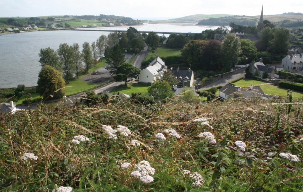
A recent publication by the editor. Anthony Beese, ‘Rosscarbery: landscape and people’. Rosscarbery Past and Present, 19 (2017), 113-120. This article discusses the prehistoric and medieval landscape of Rosscarbery and district, and the people that came to live there. http://www.rosscarbery.ie/about/history/
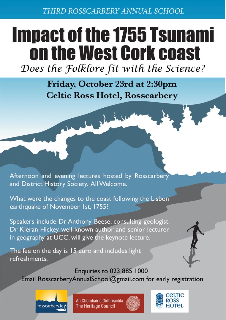
Dramatic licence! The poster, shown right is by William Helps. It was used to advertise a series of lectures at the Celtic Ross Hotel, Rosscarbery. An audience of around 125 people attended lectures that included aspects of geology, geography, history and heritage. The ultimate objective is a full reconstruction of the impact of the Lisbon Earthquake on Ireland, presented as a book.