Cork’s Medieval Canals and Waterways

On early maps, the neat elegance of oval-shaped Cork is striking. Fortunately, the historical record is a good one. It begins with some freely drawn illustrations, including the birds-eye view of the river-bound town on the Pacata Hibernia map of 1585, and continues with a series of military maps (such as that shown) that were the result of more rigorous surveys carried out during the seventeenth century.
Inspection of early plans reveals that there are naturally branching (anastomosing) channels that are typical of any estuary, but these tend to be relatively short in length. Two of the waterways, however, are puzzling because they are perpendicular to both the main channels and the WSW trend of the Lee valley. These paired channels, which cross the full width of the valley, are interpreted as man-made canals of early date. Their location directly upstream and downstream of the original settlement is obviously significant. Further studies confirm this thesis (Beese 2010, 2012) and also show that the crosswise watercourses were probably designed both to control flood risk and to improve navigation, as well as perhaps provide a defensive barrier around the new town.

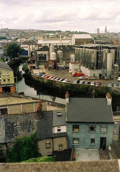
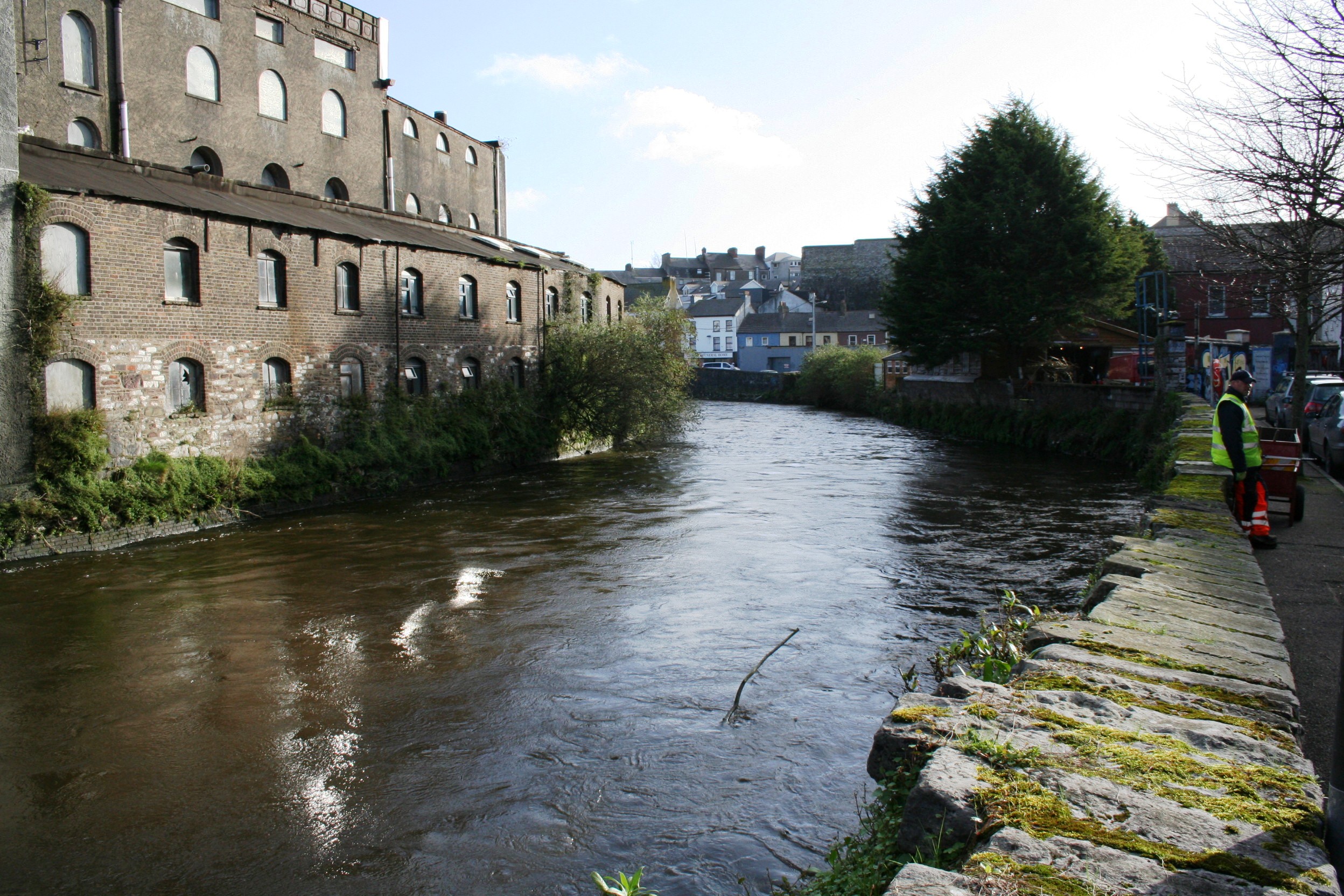
During the post-medieval period, the two canals have been filled along most of their length, and converted into the wide thoroughfares of Grattan Street , Corn Market Street and Grand Parade. However, the diversion along the western side of the former Beamish and Crawford brewery, which is part of the South Channel, still survives.
A key difficulty for the Hiberno-Norse people was that, prior to the land-claim, the main South Channel of the River Lee flowed through the middle of the planned settlement, probably in a shallow and multi-branched course that spread out, across the intertidal mudflat. Thus, an initial task must have been to divert this major flow, so that it turned sharply south and then east, around the southwest corner of the proposed settlement, thus reducing the risk of repeated river floods.
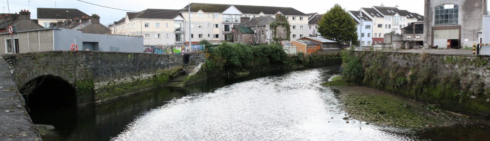
The diversion was achieved by cutting a short canal from the main channel to a stream that ran along the southern edge of the Lee valley. Thus, in modern terms, the relict canal is the stretch of the South Channel that runs south from Clarke’s Bridge to French’s Quay. As a result, the stream, which is now culverted under Proby’s Quay (shown in the header above), was enlarged and deepened so that it could be incorporated into the new course of the South Channel, flowing along French’s Quay and under South Gate Bridge. At Grand Parade the diverted South Channel joined up with its former, natural course.
The current dimensions of the waterway formed by the diversion are approximately 350m long and 20m wide, while the depth of water in the canal is less than a metre at low water. It is likely that the soft mud banks of the original diversion were supported by timber revetments, and these may survive behind the modern quay walls.
Some idea of the probable date of the canalization of the South Channel may be gained by estimating the age of the silt filling used in the initial land-claim (Beese 2014), because there is good evidence that the source of the filling was local, and it seems that the excavated waterways were the most likely part of a ‘cut and fill’ design. Thus, the minimum and maximum dates of the timber fences and revetments used in the nearby land-claim at South Main Street, as obtained using dendrochronology, may give an unrefined chronology for the diversion. But any interpretation must be only a first approximation because it is widely known that some of the timbers in Cork’s first houses and associated reclamation works were recycled from earlier structures. And so, based on the range of dates, so far obtained, it seems likely that the waterways around South Island were being excavated between 1090 and 1134 AD. Unfortunately, direct archaeological or historical evidence of the canals is lacking.
Thus, the medieval waterway is likely to date from the late 11th century, and as such, is one of the oldest surviving structures of Cork and represents an important heritage site.